Statewest Surveys have experience servicing an variety of areas including the Perth metropolitan and hills areas, Exmouth, Carnarvon, Busselton and interstate projects in the Northern Territory and Queensland.
We have a range of consultants on hand for specific purposes and are able to service large contracts involving planning, engineering, environmental issues and construction, without the need for heavily scaling up our core business.
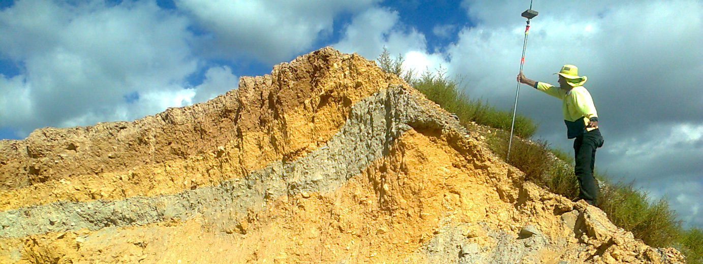
As well as specializing in Subdivisions and land development experience, we also cater to the more localised and domestic market via such projects as school set outs, small & large subdivisions, volume calculations and Kiln set outs (Austral Brick and Boral Brick), Amalgamations and Mining Surveys.
Statewest Surveys maintains a good working relationship with clients like Westrac, Austral Brick and Midland Brick and has done for many years.
Just a snapshot of our services is outlined below:
Residential, Commercial & Rural Subdivisions
From preparation of satisfying conditions for subdivison approval includes duties such as design, drafting, pegging new lots and preparing a diagram of survey. Statewest Surveys is very well equipped to deal with this kind of preparation.
We also do all applications to govt authority on behalf of client which also saves time and money when not involving a planner.
Engineering Survey
This includes the surveying and mapping for all disciplines of engineering. Information in this survey includes roads, sewers, drains, dams and buildings.
Strata Survey
Strata plan production includes built stratas for duplex and multi units, vacant lot stratas and survey stratas to merger by resolution.
Feature/Contour Survey
This type of survey covers a large area from rural detailed survey to mining surveys in accordance with the appropriate Mines Department regulations including the plotting of tenement boundaries, open cut mines and exploration gridding.
Boundary Re-establishment Survey
This survey is an accurate identification of property boundaries to enable fencing or building extensions to proceed.
Volume Survey
This is a survey and volume calculation of stockpiles, landfill dams and other related areas
Amalgamations
To re arrange existing property to suit - eg two blocks into one